
Summary: Sedimentary, igneous and metamorphic rocks contain minerals and are formed by processes that occur within Earth over a variety of timescales.
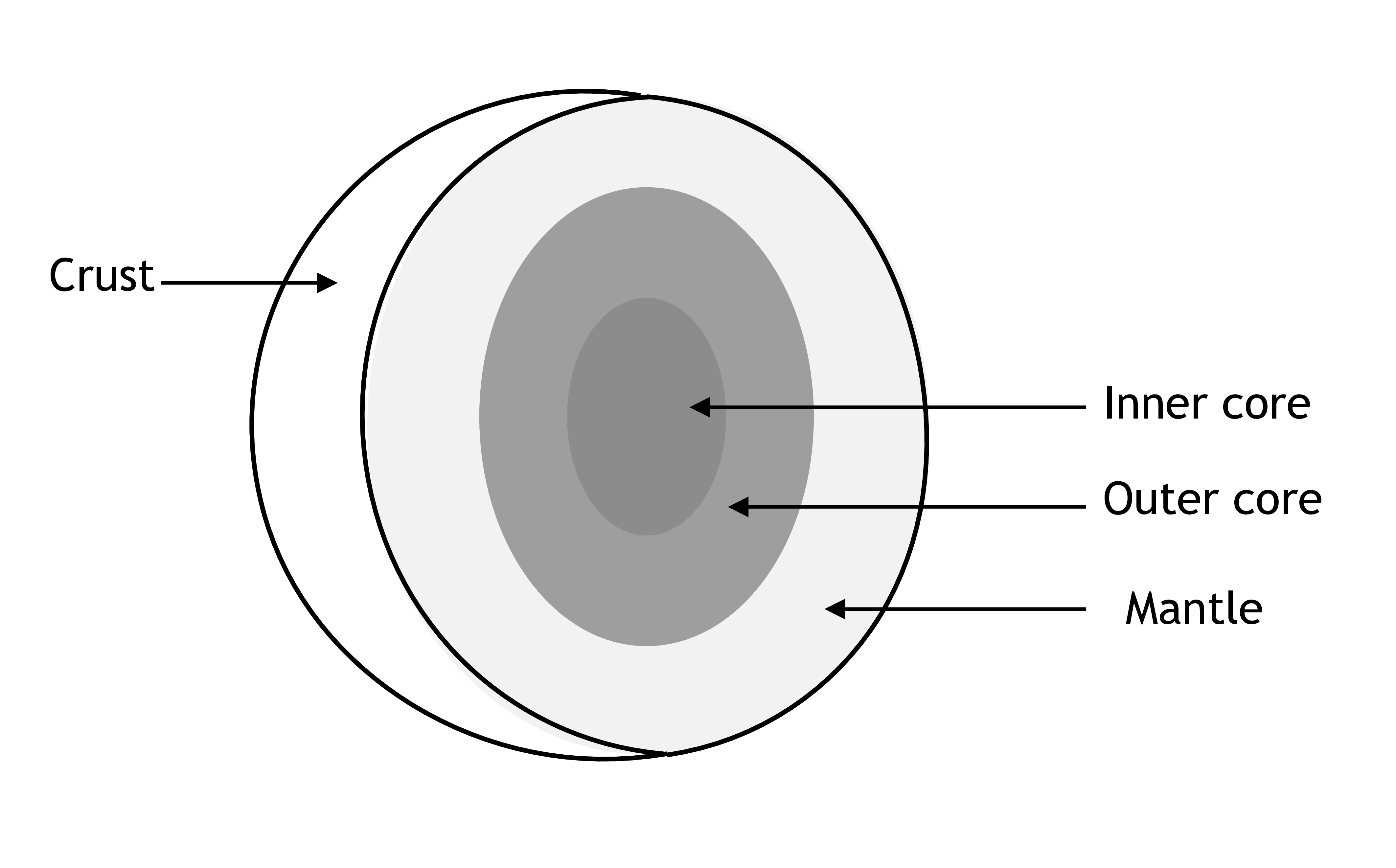
Earth Structure
“Describe the structure of the Earth in terms of core, mantle, crust and lithosphere”
Notes
- A summary of the features of each layer, as well as activity ideas, can be found on the Victoria’s Department of Education and Training website.
- More information can be found on the following Wikipedia article
- National Geographic also hosts a variety of resources for Years 6-8.
- There are also many resources available on Scootle, primarily videos (caution: as of 18th December 2020, Adobe Flash-based resources are no longer supported on Scootle).
| Activity/Resource | Notes |
|---|---|
| [Literacy] In groups, students construct a poster of the Earth (cross-section), with labels | Encourage students to conduct online/book research and ensure their diagram is to scale (correct proportion of layers); research will also allow students to figure out what the layers are made of (and therefore what colours/labels to use). Get students to also provide brief captions/descriptions for each layer It’s not relevant, but you can get students to include other spheres (atmosphere, hydrosphere) for a more complete diagram Once complete, get the class to do a gallery walk – have each group nominate a representative to stay with their poster; the rest of each group walk around the class and view each other’s posters and ask questions/give comments Take pictures of the students’ final posters, and either allow them to take them home or decorate the classroom with them |
| [Practical] Create a model of the Earth with materials | There are plenty of examples online with suggestions for appropriate materials: papier-mâché, coloured clay or dough, Styrofoam |
| [Digital] Students role-play as geologists and record an interview or informative video | Can limit the duration to 1-3 minutes depending on how much information you want students to present – the main goal is to get students to conduct research and/or summarise what they have learnt about the Earth’s structure Encourage students to create and use visual aids while presenting Students could pair up (one as an interviewer, one as the geologist) Bonus task: students should also present one interesting fact about a layer of their choice (e.g. the inner core) |
| [Numeracy] Matching Activity | Simple activity – provide students a bank of temperatures and pressures, students should match a temperature and pressure to each layer and provide a justification It could be useful to get students to do this BEFORE learning – it can be an opportunity to learn more about students’ current reasoning skills + potential misconceptions |
| [Discussion] Class Questions | These questions can be designed to uncover what students already know about the Earth, e.g.: Where does lava come from? How deep is the soil? What is the core like? Where do mountains come from? What’s underground? From this, can branch off into either research, reading a text, an investigation or demonstration |
| [Investigation] Kola Superdeep Borehole | The Kola Superdeep Borehole (in Russia) is the deepest borehole in the world (approximately 12km in depth). Students can investigate why the hole was drilled, the technology used, the issues encountered (heat), the types of rock encountered, and similar projects. |
| [Numeracy] Earth Scale | Short(ish) activity – using either a large piece of brown paper, the whiteboard, or the ground outside, construct a 1m circle and explain that it is meant to represent a cross-section of the Earth. It will be difficult to draw without a large compass or string. Ask students to identify what’s missing/incorrect about the current version of the drawing, and update it using their suggestions Option: draw students’ suggestions even if they are incorrect. Once students run out of suggestions, take a picture of the drawing, and get students to do some research at home to figure out what’s missing/incorrect (discuss in class during the next lesson). When students are deciding to add the four main layers, ask students how large they think each layer is before providing more accurate numbers. Students should figure out the correct scale before a layer is drawn. |
| [Literacy] Similarities and Differences (Models vs Reality) | Present the class with a series of analogies about the Earth (e.g. it’s like a peach, it’s like a hard-boiled egg, it’s like an onion or cake, etc.) Allow students some time to brainstorm similarities and differences (in groups) before asking for responses – transcribe these on the whiteboard for the class to see, cross-check, and add to their own notes Instead of analogies, you can also present historical/example picture models of the Earth Bonus: get students to come up with more accurate analogies |
| [Discussion] Story/Movie Analysis | Provide excerpts/clips of popular texts (subterranean fiction), and get students to identify errors and/or correct depictions E.g. Journey to the Center of the Earth, The Core |
Landforms
“relate the formation of a range of landforms to physical and chemical weathering, erosion and deposition”
Notes
- The UK-based Geological Society hosts summaries of different rock cycle processes, including weathering, erosion and deposition
- Another summary is available on the BBC’s Bitesize website
- Wikipedia: Weathering, Erosion, and Deposition
| Activity/Resource | Notes |
|---|---|
| [Digital] Video Discussion | There are many videos (including time-lapses) available online that demonstrate weathering/erosion processes, e.g. Bay of Fundy, Old Lyme, Birling Gap, North Cliffs, Pacifica Coastal In theory, students could also produce their own demonstration videos – this would probably work better as a project (with narration to explain what is happening) |
| [Literacy] Comics and Drawings | Students draw the process of weathering, erosion and deposition (rock cycle) in a series of frames/panels Students are free to choose type, location, circumstances etc. |
| [Practical] Experiment | Students test out what can prevent erosion (using research/brainstormed ideas), e.g. gravel, rocks, plants Students can cross-check their results with suggestions online |
| [Literacy] Concept Map | Key Terms: weathering 🡪 erosion 🡪 deposition Additional Terms: burial, compaction |
| [Literacy] Sorting | Present students with a set of images of different naturally-formed landforms Individually or in groups, students should sort these images depending on whether they were primarily created by gravity, wind, water, ice (e.g. valleys, mesas, sand dunes, cliffs, deltas) |
| [Practical] Excursion/Outdoor Walk | If feasible, can take the class on an excursion to the beach to make observations of local erosion/weathering This would pair well with a) an expert/scientist who can guide students and respond to their questions, and b) a longer-term or wider research project |
| [Digital] Google Maps/Earth | Google Earth can be used to help students explore different examples of natural landforms (can be made more interesting when paired with VR) |
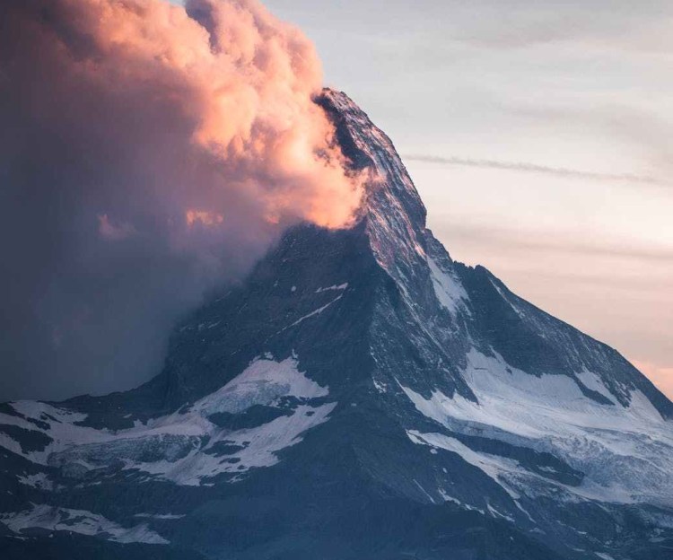
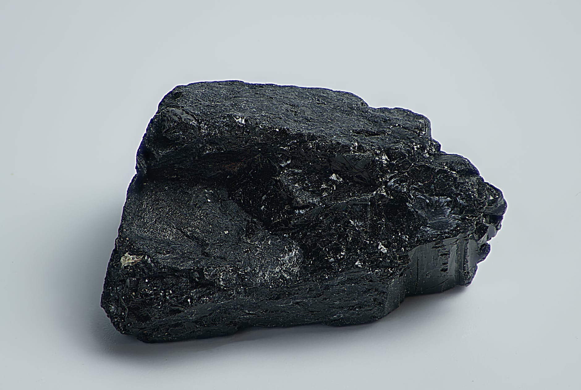
Rock Types
“outline the origins of and relationships between sedimentary, igneous and metamorphic rocks”
“identify that sedimentary, igneous and metamorphic rocks contain minerals”
“classify a variety of common rocks and minerals into groups according to their observable properties”
| Activity/Resource | Notes |
|---|---|
| [Practical] Find and Classify | Students find rock samples around the school/in the local park during lunch, then bring them back to the classroom to share and discuss what type of rock they are (Additional time can be spent identifying the actual type of rock – may require a visual guide or a geologist) |
| [Practical] Sorting | Provide students with a set of photos; in groups, they sort them into groups based on features Option: if students haven’t been introduced to sedimentary, igneous and metamorphic rocks – leave the groupings up to students (open-ended) |
| [Literacy] “What Type” | Provide students brief descriptions of sample rocks – students use a classification key/images to determine what type of rock the sample is |
| [Practical] Rock Cycle Game | From NASA Can lead into mapping out afterwards |
| [Practical] Rock Resting | From Challenger Learning Center Encourage students to bring in their own samples; also provide interesting examples from storage and local samples Hardness Test (soft to hard) – can see if the rock will scratch or be scratched by different materials, e.g. coins, fingernails, nail, quartz Colour streak (on porcelain, tile or paper) Acid test – see if it reacts to vinegar, can identify calcium carbonate in rock Magnetism test – see if the rock contains iron |
| [Discussion] Rock Use | Simple prompt for discussion – where are rocks used in daily life? E.g. gardens, building construction, statues, kitchens, floor tiles, concrete, etc. Mostly useful for getting students to access their prior knowledge/share their understanding and experience with the class Can refer to here for ideas |
| [Brainstorm] Rock Properties | Brainstorm + Research: what observable properties do rocks have? E.g. shape, texture, size, lustre, colour, hardness |
Fossils
“describe the conditions under which fossils form”
“outline how geological history can be interpreted in a sequence of horizontal sedimentary layers, in which the oldest are at the base and the youngest at the top”

| Activity/Resource | Notes |
|---|---|
| [Practical] Fossil Creation | From STEM |
| [Practical] Field Trip | Field trip to a local dig/excavation site + tour with palaeontologist |
| [Practical] Museum | Fossil Collection |
| [Guest] Palaeontologist | Encourage students to prepare questions beforehand |
| [Debate] What will be fossilised? | Make sure students know the conditions necessary for an organism to become a fossil Present different scenarios/candidates for fossilisation; encourage class discussion until there’s consensus |
| [Numeracy] Scale Model | Layers (?) |
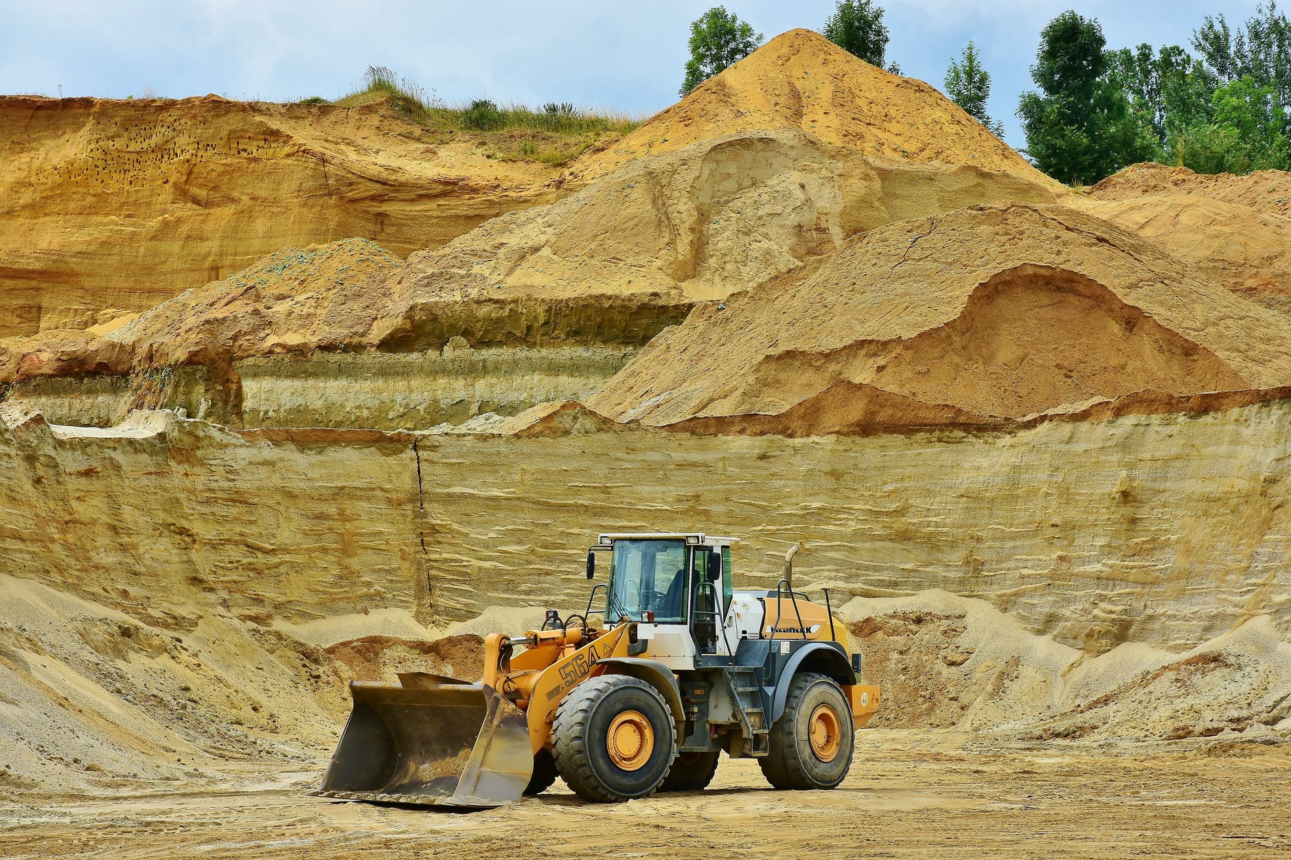
Science Occupations
“describe examples to show how people use understanding and skills from across the disciplines of science in occupations related to the exploration, mining or processing of minerals in Australia”
| Activity/Resource | Notes |
|---|---|
| [Project] Research and Presentation | Exploration – gathering geological information, determining economic feasibility Mining – what types of ores/minerals are collected? |
| [Project] Roleplay or Interview | Instead of conducting an individual presentation, two students (or student and teacher) participate in a roleplay involving a occupation (selected and researched by the student) and an interviewer Students could choose to either pre-record their roleplay and submit their video recording for later watching with the whole class, or they could perform the roleplay in front of the class Alternatively, students could do their roleplays in larger groups (with multiple roles, including interviewer/journalist and citizen) |
| [Discussion] Fishbowl Activity | This activity should be split into three parts/groups to cover mineral exploration, mining and processing-related occupations (alt: split into further parts if the class is very large) Rearrange the classroom so that there is room for two concentric circles (inner + outer) of seats facing each other. The inner circle should be filled by student ‘experts’ of a particular set of occupations, while the outer circle should be filled with the rest of the class (ready to either take notes or ask questions). The activity functions mostly as a discussion, with the inner circle of students sharing their research to the class. |
*Will continue adding/refining ideas here over time.
